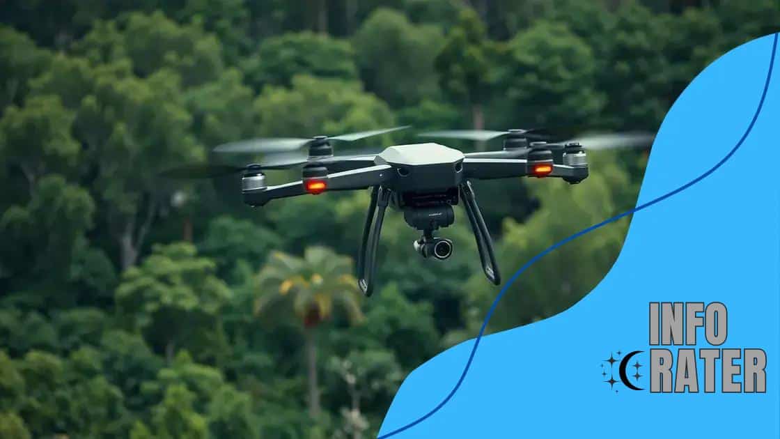
Drones for autonomous environmental monitoring in action
Drones for autonomous environmental monitoring enhance data collection through high-resolution imagery, real-time analysis, and efficient coverage, transforming practices in agriculture, conservation, and emergency response.
Drones for autonomous environmental monitoring are transforming how we understand and protect our natural surroundings. Imagine being able to effortlessly collect data from hard-to-reach areas. This technology not only enhances efficiency but also offers valuable insights into ecosystem health.
Understanding the role of drones in environmental monitoring
Understanding the role of drones in environmental monitoring is essential for grasping how technology can improve our approach to ecosystem preservation. These innovative devices are reshaping how we gather and analyze environmental data.
Drones enable real-time observation of natural habitats, making it easier to assess conditions like soil moisture and vegetation coverage. With high-resolution cameras and various sensors, they can capture crucial metrics that were once difficult to acquire.
Benefits of using drones in monitoring
One key advantage of using drones is their ability to access challenging terrains that are often unreachable by traditional methods. Here are some notable benefits:
- Cost-effective: Drones reduce the cost of collecting data by minimizing the need for expensive equipment and manpower.
- Time-efficient: They can cover large areas quickly, providing updates in real-time.
- High accuracy: Drones are capable of gathering precise measurements, improving data reliability.
Moreover, drones can conduct multispectral imaging, which allows us to monitor plant health and assess biodiversity effectively. By analyzing the data collected, scientists can make informed decisions about conservation strategies.
Applications in various fields
Drones are utilized in various sectors, including agriculture, forestry, and wildlife conservation. In agriculture, they help farmers monitor crop health and optimize irrigation practices. In forestry, drones aid in tracking deforestation and reforestation efforts. For wildlife conservation, these devices allow researchers to track animal movements without disturbing the natural habitat.
Overall, the integration of drones into environmental monitoring enhances our ability to protect vulnerable ecosystems. By harnessing this technology, we can gain a holistic view of our planet’s health and make better decisions about sustainability.
Key benefits of using drones for data collection
The key benefits of using drones for data collection are changing the landscape of research and monitoring. These devices bring innovation and efficiency to environments that require detailed observation.
One significant advantage is that drones can cover vast areas quickly. This capability ensures researchers can collect data much faster than traditional methods. Additionally, drones minimize the need for ground personnel, reducing labor costs and risks associated with hazardous areas.
Enhanced Data Gathering
Drones utilize advanced sensors and cameras to gather high-quality data. They can operate in various conditions, allowing for consistent monitoring regardless of weather or time of day. Some specific benefits include:
- High-resolution imagery: Drones can capture detailed images, which are essential for accurate analysis.
- Multispectral capabilities: They can measure different wavelengths of light, providing insights into vegetation health.
- Real-time data: With live feeds, researchers can make instant assessments and decisions.
Moreover, their ability to collect data over time allows for comparison and trend analysis, crucial for scientific studies. This feature is particularly beneficial in fields like agriculture and environmental conservation.
Accessibility and Versatility
Drones can easily access remote and difficult-to-reach locations. They are invaluable in mapping and surveying, especially in rugged terrains or disaster-affected areas. Their versatility extends beyond just collecting data; they can also be programmed for specific tasks like spraying crops or monitoring wildlife.
Overall, the efficiency, precision, and accessibility of drones significantly enhance data collection efforts. By integrating this technology, scientists and researchers can achieve remarkable results in their work.
Technological advancements in drone capabilities

Recent technological advancements in drone capabilities have significantly changed how we monitor and analyze our environment. With new innovations, drones are now more efficient, capable, and cost-effective than ever before.
One key advancement is the integration of advanced sensors that allow drones to collect a variety of data types. These sensors can measure temperature, humidity, and even nutrient levels in the soil. This data is essential for scientists and environmentalists to understand ecosystems better.
Improved Flight Technologies
Advancements in flight technology have also enhanced drone performance. Modern drones can fly longer distances and stay airborne for extended periods. Features such as:
- GPS navigation: This allows for precise control and route planning.
- Obstacle avoidance systems: These systems help prevent crashes, making flights safer.
- Higher payload capacity: Drones can now carry more equipment and sensors.
Additionally, improved battery technology has led to longer flight times, enabling drones to cover larger areas in a single mission. This is particularly beneficial for environmental monitoring projects that require extensive coverage.
Data Processing and Analytics
Another significant development is the capability for real-time data processing and analytics. Drones can now analyze data on-site, providing immediate insights to researchers. With advanced software, they can generate reports and maps in just a few minutes. This efficiency allows for quicker decision-making.
Moreover, the use of artificial intelligence (AI) in drones is on the rise, enabling them to learn from data and improve their operations over time. This technology helps identify patterns and trends that human analysts might overlook. As a result, researchers can derive valuable insights much faster than with traditional methods.
Best practices for deploying drones in the field
Implementing best practices for deploying drones in the field can significantly enhance data collection and monitoring. Proper preparation ensures that drones operate efficiently and safely in various environments.
One of the first steps is planning the flight path carefully. Understanding the area’s geography and weather patterns can help avoid challenges during the flight. Drones should be programmed with specific routes to ensure they cover the required areas effectively.
Pre-Flight Checks
Conducting thorough pre-flight checks is essential. Before launching, it’s important to:
- Inspect the drone: Ensure all components are functioning correctly, including propellers and batteries.
- Check data collection tools: Validate that cameras and sensors are operational.
- Review regulations: Familiarize yourself with local laws regarding drone usage.
These checks help prevent technical failures and legal issues during operations.
Data Management
Managing the data collected during flights is also crucial. Once collected, data should be backed up regularly to prevent loss. Using software tools for data analysis can enhance the insights gained from the data. Some tips for effective data management include:
- Organize data files: Use clear labeling and folder structures for easy access.
- Analyze in real-time: Employ software that allows for immediate analysis post-flight.
- Share findings: Collaborate with teams to disseminate insights for better decision-making.
Moreover, training staff on the operation and maintenance of drones ensures safety and maximizes efficiency. Continuous education about the latest technology and techniques is also beneficial.
Case studies showcasing successful drone applications
Case studies showcasing successful drone applications demonstrate the real-world benefits of utilizing this technology across various fields. These examples illustrate how drones can provide solutions to complex challenges and enhance efficiency.
One prominent case study comes from agriculture, where farmers use drones to monitor crop health. By capturing high-resolution images, these drones can identify areas that need attention, such as irrigation or pest control. Farmers reported increases in yield and reduced resource waste, proving that drone technology can have a significant impact on productivity.
Environmental Conservation
Another compelling example is in environmental conservation. Teams have deployed drones to track wildlife and monitor habitats. For instance, a project in Madagascar used drones to survey forest areas. Researchers could gather data on deforestation rates without disturbing the local ecosystems. The findings helped shape conservation strategies, showcasing how drones play a vital role in protecting biodiversity.
Search and Rescue Operations
Search and rescue operations have also benefited from the use of drones. During emergencies, drones provide aerial views that aid in locating missing persons quickly. A notable instance involved a drone being used in a mountainous region to locate hikers lost in dense forests. With thermal imaging capabilities, rescue teams could pinpoint their exact location, demonstrating the life-saving potential of this technology.
Each of these case studies highlights the versatility of drones in various sectors. As industries continue to adopt drone technology, the potential applications are likely to expand, offering innovative solutions to pressing challenges.
FAQ – Frequently Asked Questions about Drones for Environmental Monitoring
What are the primary benefits of using drones for environmental monitoring?
Drones provide high-resolution imagery, cover large areas quickly, and collect real-time data, enhancing the efficiency of environmental monitoring.
How do drones help in agriculture?
Drones monitor crop health, assess irrigation needs, and identify pest issues, leading to better yield and resource management.
Can drones be used in wildlife conservation efforts?
Yes, drones track wildlife movements and monitor habitats without disturbing ecosystems, aiding conservation strategies effectively.
What advancements have improved drone capabilities?
Recent advancements include enhanced sensors, improved battery life, and real-time data processing, allowing for better performance and analysis.


